

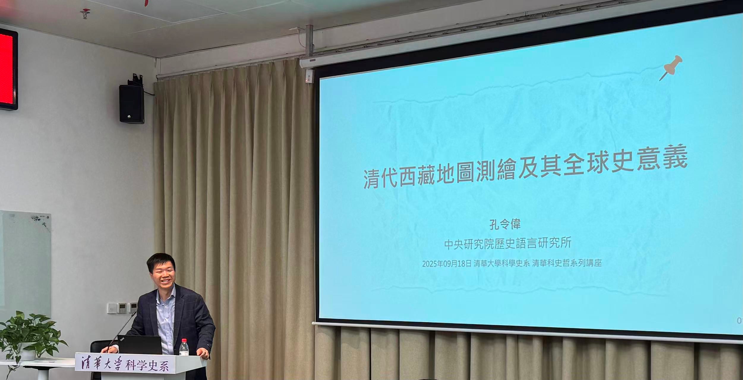
On the afternoon of September 18, 2025, the Department of History of Science at Tsinghua University held the 98th Lecture on History, Philosophy and Science in Room B206 of the Humanities Building. This lecture invited Kong Lingwei, an assistant research fellow at the Institute of History and Philology, Academia Sinica, to give a lecture entitled "Map Surveying and Mapping in Tibet during the Qing Dynasty and Its Significance in Global History". Associate Professor Shen Yubin from the Department of History of Science presided over the lecture.
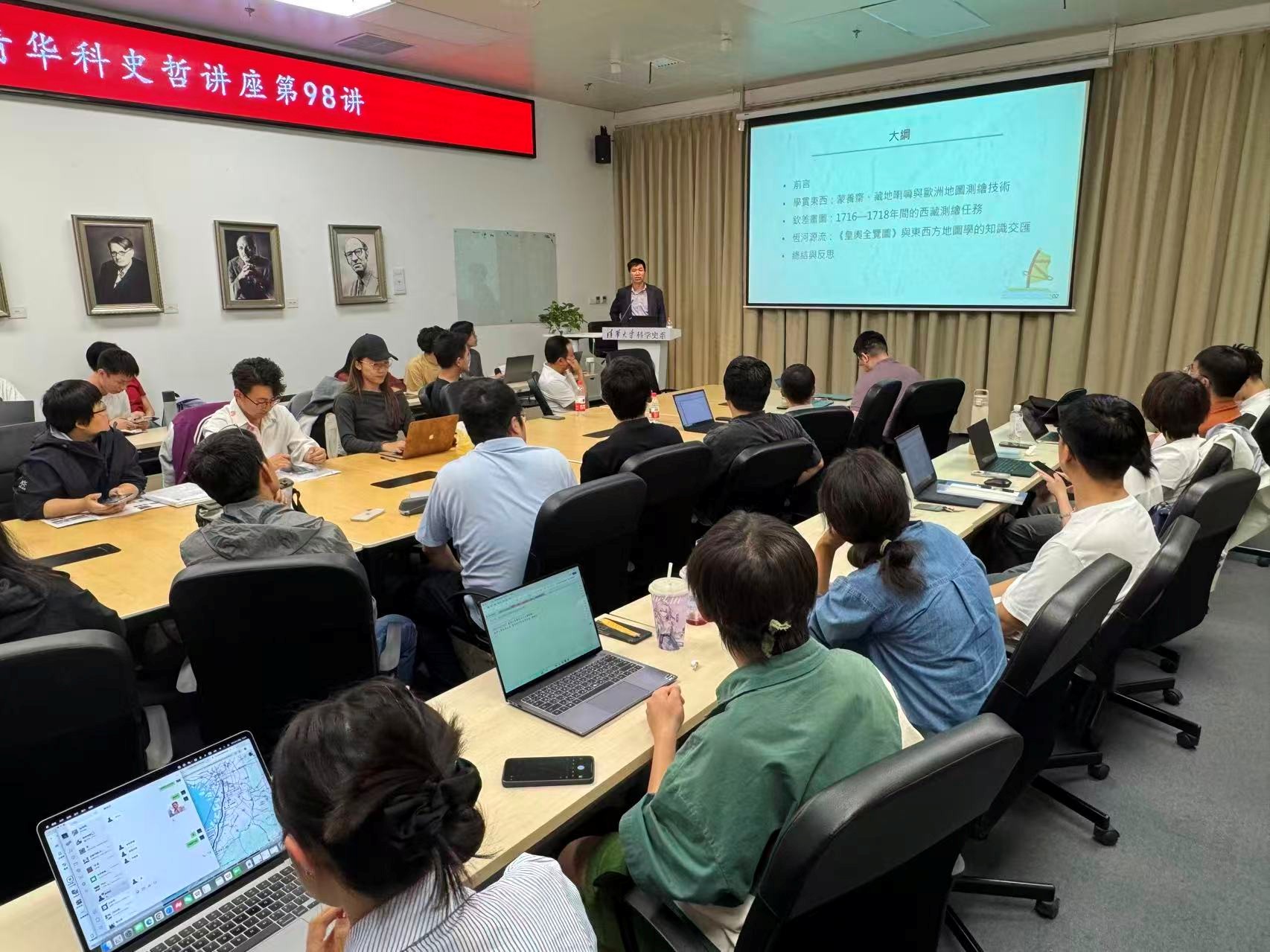
Professor Shen first introduced the academic experience and main research achievements of the speaker. Professor Kong's main research fields include the history of exchanges between the Central Plains and Central Eurasia during the Yuan, Ming, and Qing dynasties, the history of knowledge, and the philology of historical documents in Manchu, Mongolian, and Tibetan languages. Professor Kong's lecture focused on the geographical mapping practice carried out by the Qing Dynasty in the Tibet region at the beginning of the 18th century, and deeply explored the process of its knowledge construction and the cross-regional impact it produced. Besides the preface and summary, the report has three main parts.
The first part is "Mengyangzhai, Tibetan Lamas and European Map Mapping Technology". Professor Kong first pointed out some misinterpretations in the current research on Tibetan geography and related historical materials, involving the distinction between "Chuerqin Zangbu", "Lanmuzhanba", related place names, and the confusion between the Suanxueguan (Institute of Mathematics) and the Qintianjian (Imperial Astronomical Bureau). Then, Professor Kong introduced the process of translating the "Shixian Calendar" into Mongolian and Tibetan, the understanding and insights of Mongolian and Tibetan monks on the "Shixian Calendar", the early attempts at mapping Tibetan maps during the Kangxi period, the functions of Mengyangzhai, and the power competition between the Tibetan religious authority and the imperial power of Kangxi.
The second part sorts out the entire process of the imperial envoy's mapping project between 1716 and 1718. The lamas who were sent on a mission by imperial decree not only possessed profound knowledge of Tibetan Buddhist geography and cosmology but also studied European astronomical and calendar calculation techniques at the Mongolian and Tibetan School of Mathematics established by the Qing court, demonstrating the integration of Chinese and foreign knowledge systems in a specific historical context. This surveying and mapping task was unexpectedly terminated due to the sudden invasion of Tibet by the Junggar tribe and was not fully completed. This surveying project did not conduct scientific mapping of Mount Kailash and the source of the Ganges River; it only involved the collation and estimation of Tibetan materials collected in the Potala Palace and local monasteries. Churqin Zangbu, the core figure in the mapping work, not only engaged in map drawing but also served as the builder of the emperor's intelligence network in the northwest region. Through the mapping activities, the Qing court aimed not only to achieve spatial cognition of Tibet but also to accomplish administrative integration as well as information communication and transmission.
The third part is "The 'Complete Map of the Imperial Territory' and the Intersection of Eastern and Western Cartographic Knowledge". Using multilingual historical materials and maps in Tibetan, Manchu, French, and other languages, Professor Kong explores the transnational flow and transmission of geographical knowledge through the issues of the source of the Ganges River and the latitude of Tibet. In China, the imperial edicts of Emperor Kangxi served as the final ruling to resolve knowledge disputes. In foreign countries, Jesuits introduced the results of Tibet's surveying and mapping to European academic circles. Lama maps became an authoritative source of knowledge in European encyclopedias and were continuously discussed, profoundly influencing the Western cartographic community since the 18th century. Through a comparative study of Chinese and Western geographical knowledge systems, the multiple significances of Tibet's surveying and mapping during the Qing Dynasty from a global historical perspective are demonstrated.
In the summary and reflection section, Professor Kong explores the value of the geographical survey and mapping work in Tibet during the Qing Dynasty in terms of national governance, understanding of border regions, knowledge production, and cross-cultural exchanges through historical reconstruction of this work, thereby deepening the academic community's understanding of the interactive relationship between the Qing Dynasty's border policies and global history. Professor Kong points out that the Lama maps were an important project of the central government of the Qing Dynasty, resulting in precious knowledge achievements. However, the strict political censorship and secrecy imposed by the Qing Dynasty on Tibetan maps and related geographical knowledge led scholars such as Wei Yuan in the late Qing Dynasty to still be very unfamiliar with Tibetan geography. In sharp contrast, European scholars of the same era continuously and actively explored the trans-Himalayan region using the Lama maps, leading to the advancement and popularization of knowledge. The deep integration of knowledge and politics in the Qing Dynasty is a problem worthy of further in-depth study.
During the Q&A session, teachers and students actively spoke up, and the questions raised included: "Further explanation of the involution of knowledge in the Qing Dynasty", "Whether involution has appeared in multiple geographical regions and knowledge fields", "The handling methods and mentality of Han scholar-officials and the Chinese cultural world towards foreign knowledge", "Why Emperor Kangxi was unwilling to send Jesuits to survey and map Tibet but chose lamas", "Technical issues and instruments for longitude measurement during the Kangxi period", "The Needham Question", etc. Professor Kong gave detailed answers to the above questions one by one and had a lively exchange and discussion with the teachers and students present.
Written by: Sun Yifan
Review: Shen Yubin