

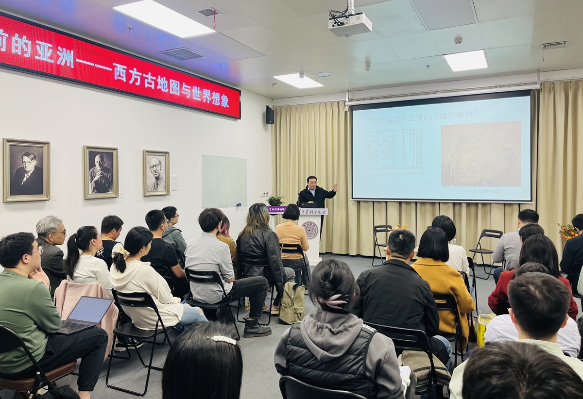
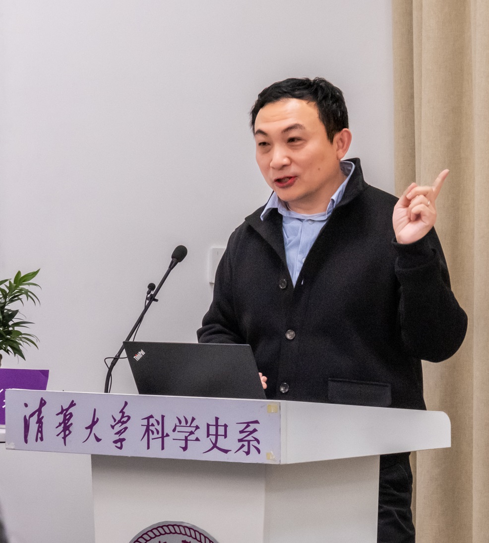
On the afternoon of April 12, 2024, the 62nd lecture of the THU History and Philosophy of Science Lecture Series was held in the Tsinghua Department of the History of Science. The lecture featured Professor Song Nianshen from Tsinghua’s Institute for Advanced Study in Humanities and Social Sciences and Department of History. His presentation, titled “Asia Before America — Western Ancient Maps and Global Imagination,” was followed by a dialogue with Liu Xiao, Assistant Professor at Tsinghua’s Department of the History of Science. The event was hosted by Wang Jing, curator of the “Marvels from Overseas” exhibition and staff member of Tsinghua University Science Museum.
Professor Song began by emphasizing the historical significance of bidirectional exchanges between East Asia’s westward gaze and Europe’s eastward gaze. This mutual exploration, he argued, laid the foundation for the origins of modern society. The “discovery of America” was, in fact, a result of Europeans “seeking routes to Asia.” Through analyzing representative ancient maps, Song deconstructed European imaginations and quests for the Eastern world, focusing on two key cartographic traditions: the T-O map and portolan charts.
The T-O map, or “Isidorian map,” was a medieval mappa mundi that depicted the world through simple geometric shapes. Song highlighted the 8th-century Beatus Map from the Commentary on the Apocalypse, a classic example blending religious, historical, and geographical elements. Medieval maps, he explained, fused geographical data with religious imagination, reflecting a “habitable world” worldview. According to this view, the spherical Earth was divided into three inhabited regions (Asia, Europe, Libya) surrounded by uninhabitable wilderness populated by barbarians or mythical creatures. Europe’s perception of the East during this period oscillated between visions of Eden, barbarism, and the legend of Prester John. These imaginations persisted until the 14th century, when firsthand travel accounts like The Travels of Marco Polo shifted focus from religious awe to material aspirations. The 1459 Fra Mauro World Map, while retaining the T-O framework, prioritized realism over religious symbolism.
Regarding portolan charts, Song noted their practical origins in coastal navigation, emphasizing decorative elements over utility. He analyzed the Catalan Atlas, which documented the emergence of the compass rose and fused biblical traditions with maritime knowledge, reflecting 14th-century European perceptions of East Asia and China. The inclusion of sea monsters in such maps symbolized both fears of the unknown and displays of artistic and economic prowess.
Song then discussed a pivotal shift in European geographical thought: the 15th-century rediscovery of Ptolemy’s Geography, which revived concepts of a three-dimensional Earth, latitude-longitude systems, and new projection methods. In 1493, Hartmann Schedel’s Nuremberg Chronicle, printed using Gutenberg’s press, merged biblical and Ptolemaic traditions, showcasing pre-Columbian geographical synthesis.
In his conclusion, Song argued that Columbus’s accidental “discovery” of America—driven by Europe’s obsession with “finding Asia”—marked the beginning of early globalization and the modern world. The material, cultural, and commercial demands for the “overseas” catalyzed modernity. The 19th- and 20th-century “Western Learning Spreading East,” alongside democratization, extended centuries of East-West exchange.
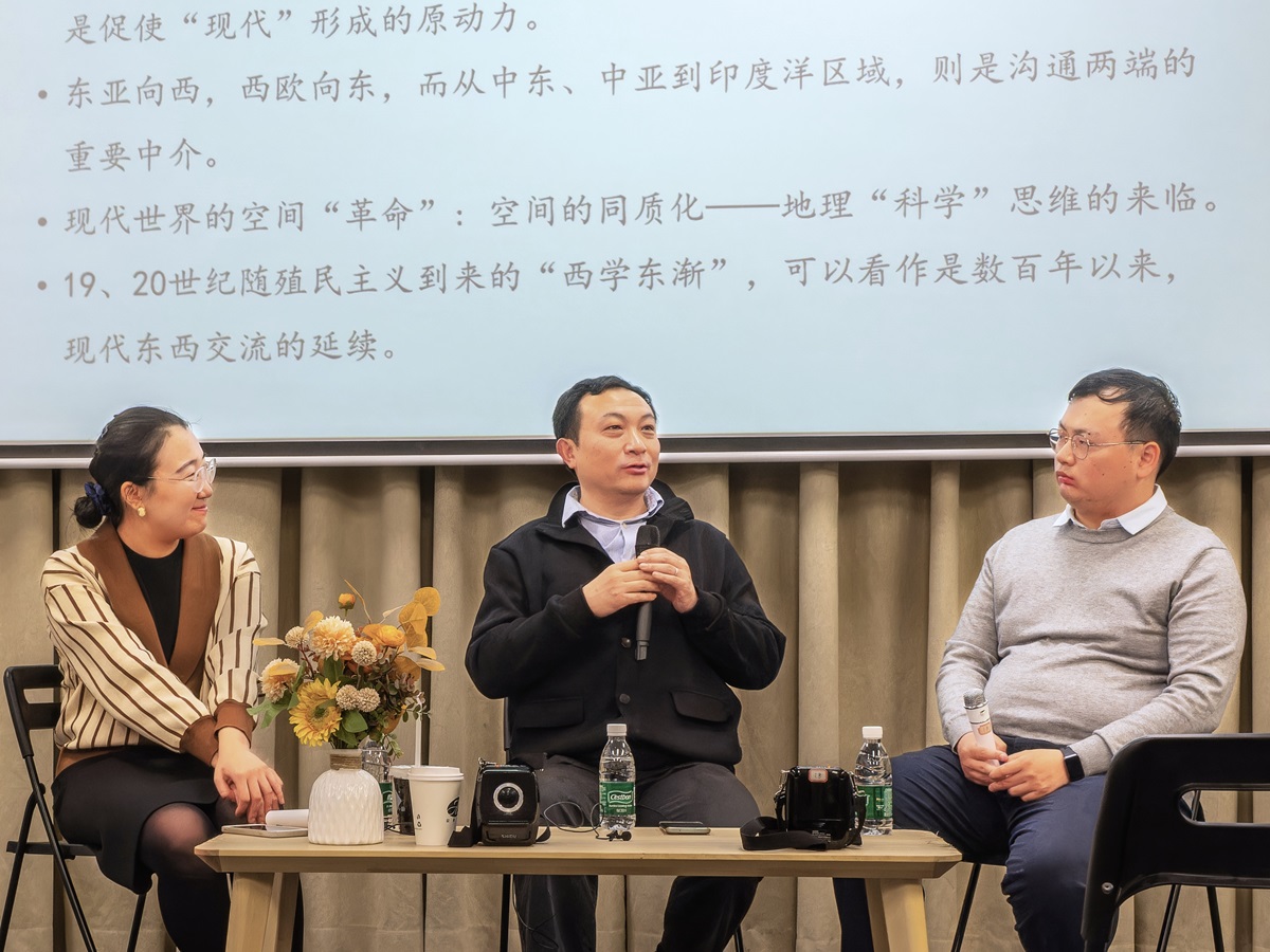
During the dialogue session, Liu Xiao connected the lecture to Tsinghua Science Museum’s “Wonderful Instruments from Overesas” exhibition, noting that maps and instruments, as material cultural artifacts, reflect subjective human efforts to shape space and selectively convey knowledge. Song agreed, using the cartographic term “projection” to illustrate how mapmakers actively impose their ideologies onto their works.
The lecture concluded with an in-depth Q&A, where Song engaged the audience on topics such as Sino-Western cartographic parallels, the interplay of imagination and science, and the integration of time and space in mapmaking.
Author: Liu Ziqi
Reviewers: Liu Xiao, Wang Jing
Photography: Cao Feihong